
HOUSTON, TX
Following a start to 2026 that felt more like early spring than mid-winter, Houstonians are being urged to dig through their closets for heavy coats and gloves. After record breaking warmth that saw the mercury soar into the mid 80s earlier this month, the atmosphere is shifting dramatically. Forecasters are now tracking two distinct cold fronts that are poised to march through Southeast Texas, with the second bringing the potential for a dangerous Arctic blast by the weekend.
The first of the two fronts began its descent across the region early Monday morning, serving as a relatively gentle reminder that January is historically the city’s coldest month. This initial system cleared out the patchy frost seen in some northern suburbs and set the stage for a gray, damp mid-week. Temperatures on Tuesday and Wednesday are expected to settle into a more seasonable rhythm, with afternoon highs struggling to climb out of the 60s while scattered showers provide much-needed moisture to a region that has flirted with severe drought conditions in recent weeks.
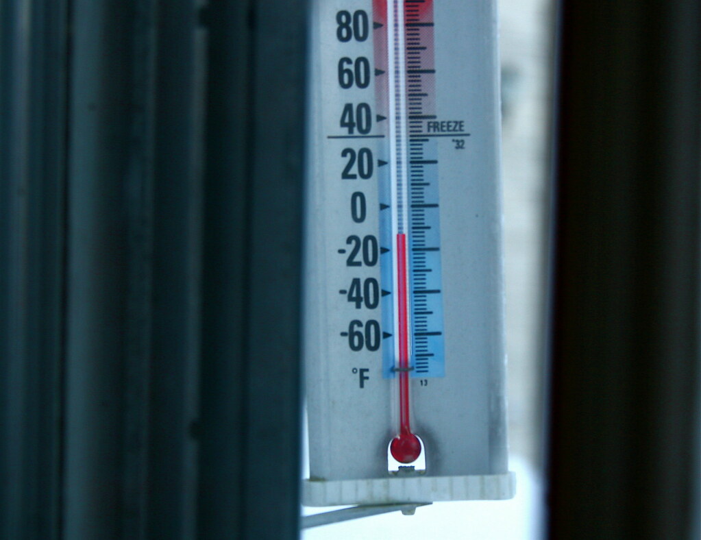
While the midweek weather may seem like a typical winter chill, meteorologists warn that it is merely the opening act for a much more powerful system arriving late Friday. A potent Arctic air mass, originating in the Canadian plains, is currently gathering strength and is forecast to race southward across the Central United States. By the time it reaches the Gulf Coast Friday night, it is expected to trigger a significant and rapid temperature drop, with highs on Saturday and Sunday in the 30s and 40s.
Public safety officials are particularly concerned about the weekend forecast, as the plunging temperatures may overlap with moisture. Current models suggest a 70% chance of precipitation on Saturday, which raises the specter of freezing rain, sleet, or even light snow over areas north of the Houston metro. Confidence is growing among experts at the National Weather Service that this will be the most intense cold snap of the season, with a hard freeze likely for communities like Conroe and Huntsville, and a light freeze possible all the way to the coast by Sunday morning.
As the city prepares for this “one-two punch,” residents are encouraged to finalize winterization efforts before the weekend arrival of the Arctic air. Local authorities emphasize the importance of the “Four P’s”, protecting people, pets, plants, and pipes. Noting that even a brief hard freeze can cause significant damage to exposed plumbing and sensitive vegetation. With bridges and overpasses at risk of icing if the predicted wintry mix develops, the coming days will serve as a critical window for the Bayou City to prepare for a true winter reality.
Cover up and get warm, it’s going to be a tough one.